Exerpt from UNC Center for Galapagos Studies.
UNC undergraduate Mia Colloredo-Mansfeld, UNC PhD candidate Francisco Laso and UNC researcher Javier Arce-Nazario have engaged farmers in mapping their own land and shared aerial images with them in order to further the sharing of agricultural knowledge.
This latest publication in the journal Drones highlights the value of using drones and aerial images with farmers in Galapagos and further explores the potential of high-resolution drone imagery for examining agricultural and agroforestry spaces, techniques, and practices.
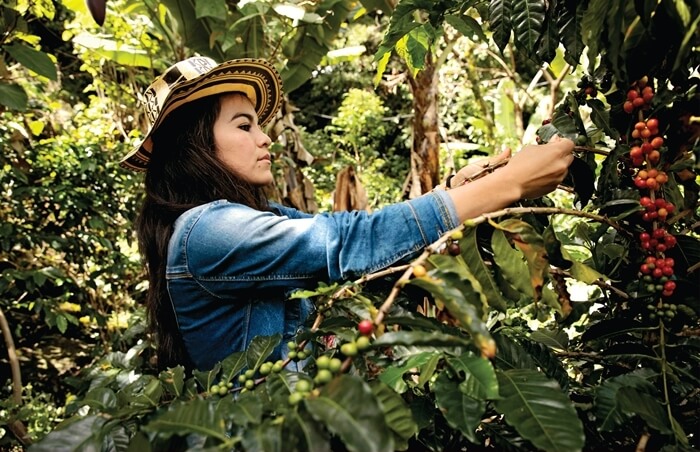
Aiding farmer interviews with aerial images of their farms encouraged farmers to address multiple subjects in an interconnected manner. Drone imagery thus supports studies of agricultural heritage not only by recording agricultural spaces but also by effectively revealing intricate agrarian knowledge and practices.
Island Innovation is a social enterprise and digital media company at the intersection of sustainable development and communications, offering specialised services across various sectors. We bring together the private sector, government, utilities, NGOs and universities to advance innovation for sustainability and prosperity in islands worldwide.


